Mindanao: The Land of Diverse Cultures and Natural Wonders

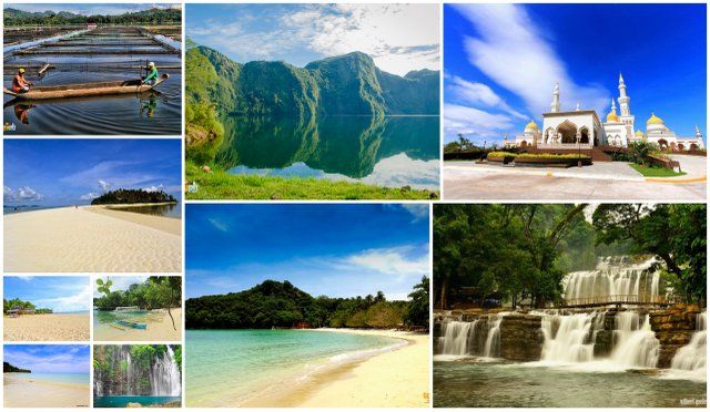
mashupch.com – Mindanao, the second-largest island in the Philippines, is a land of vibrant cultures, majestic landscapes, and untapped adventures. Known for its rich cultural diversity and breathtaking natural attractions, Mindanao offers travelers a unique experience that blends tradition with the thrill of exploration. From stunning waterfalls and lush mountains to vibrant cities and indigenous communities, Mindanao is a place that promises unforgettable journeys.

Natural Wonders of Mindanao

Mount Apo: The King of Philippine Peaks

Standing at 2,954 meters, Mount Apo is the highest peak in the Philippines. This majestic mountain, located in Davao, is a popular destination for hikers and nature enthusiasts. The trek to the summit offers stunning vistas, diverse flora and fauna, and the chance to witness the sunrise from the top of the country.

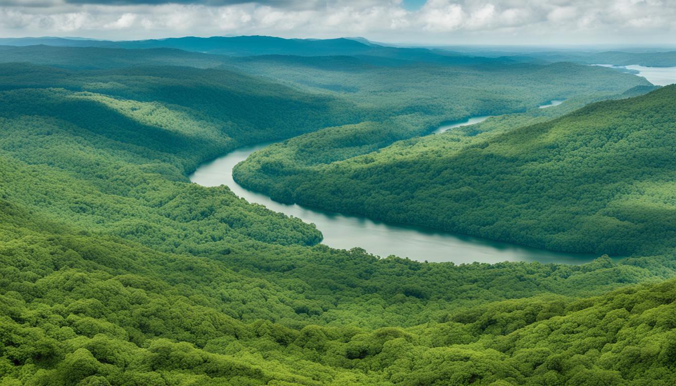
Enchanted River: A Mystical Blue Oasis

The Enchanted River in Hinatuan, Surigao del Sur, is famous for its strikingly clear blue waters and mysterious depths. Surrounded by lush greenery, this river is a serene spot for swimming and snorkeling. The vibrant marine life and the river’s enchanting beauty make it a must-visit attraction.

Cultural and Historical Highlights

The Cultural Diversity of Mindanao

Mindanao is home to a rich tapestry of cultures, with numerous indigenous groups and ethnic communities, including the Maranao, Tausug, and Lumad peoples. Visitors can experience this cultural diversity through traditional festivals, crafts, music, and dance, offering a deep insight into the island’s heritage.

Zamboanga City: A Blend of Cultures

Known as the “City of Flowers,” Zamboanga City is renowned for its Spanish and indigenous influences. The city’s iconic pink sand beaches, like those on Santa Cruz Island, and its vibrant vinta sailboats are symbols of its unique cultural blend. The annual Fiesta Pilar is a cultural highlight that showcases the city’s rich traditions and history.

Adventure Activities and Outdoor Exploration

Surfing in Siargao: The Surfing Capital of the Philippines

Siargao, a teardrop-shaped island off the coast of Mindanao, is celebrated as the surfing capital of the Philippines. Known for its world-class waves, particularly at Cloud 9, Siargao attracts surfers from around the globe. Beyond surfing, visitors can enjoy island hopping, lagoons, and mangrove forests.

White Water Rafting in Cagayan de Oro

For thrill-seekers, Cagayan de Oro offers exciting white-water rafting experiences on the Cagayan River. This adventure sport is perfect for those looking to navigate the rapids and enjoy the natural beauty of the surrounding landscapes.

Conclusion

Mindanao, with its diverse cultures, stunning natural wonders, and exciting adventures, is a destination that captivates the hearts of those who visit. Whether scaling the heights of Mount Apo, exploring the mystical Enchanted River, or immersing oneself in the rich cultural tapestry, Mindanao offers a wealth of experiences that are both thrilling and enriching. As travelers discover this vibrant island, they are sure to leave with memories that will last a lifetime.

Exploring Sierra Leone’s Diverse Geography

mashupch.com – Sierra Leone, a small country located on the western coast of Africa, boasts a rich and varied geography that encompasses a wide range of landscapes and ecosystems. Bordered by Guinea to the north and east, Liberia to the southeast, and the Atlantic Ocean to the west, Sierra Leone’s diverse topography includes coastal mangroves, wooded hill country, upland plateaus, and eastern mountains. This article delves into the distinct geographical regions of Sierra Leone, highlighting the unique features and characteristics of each.

Coastal Guinean Mangroves

The coastal region of Sierra Leone is characterized by extensive mangrove swamps that line the Atlantic Ocean. This area is a flat, low-lying plain that is frequently flooded, extending for about 200 miles (320 km) along the coast. The mangrove swamps are composed mainly of sands and clays, with numerous creeks and estuaries that support a rich biodiversity. The coastal landscape is also marked by sandbars and silting lagoons, which often form the actual coastline.

Wooded Hill Country

Inland from the coastal swamps, the Sierra Leone Peninsula rises to form a region of thickly wooded mountains. These mountains run parallel to the sea for about 25 miles (40 km) and include the Peninsula Mountains, which rise from the coastal swamps to heights of up to 2,900 feet (880 meters) at Picket Hill. This region is a crucial part of Sierra Leone’s geography, offering a stark contrast to the low-lying coastal areas with its dense forests and elevated terrain.

Upland Plateau

The interior plains of Sierra Leone are a mix of featureless seasonal swamps in the north, known as “Bolilands,” and rolling wooded country in the south. The Bolilands are characterized by lands that flood during the rainy season and become dry and hard during the dry season, supporting only grass. In the south, the plains are more varied, with isolated hills rising abruptly to over 1,000 feet (300 meters). This region transitions into the interior plateau and mountain region, which encompasses roughly the eastern half of the country.

Eastern Mountains

The eastern part of Sierra Leone is dominated by a series of mountain ranges, including the Loma Mountains and the Tingi Mountains. The Loma Mountains are crowned by Mount Loma Mansa (Mount Bintimani), which stands at 6,391 feet (1,948 meters), making it the highest peak in the country. The Tingi Mountains also rise significantly, with Sankanbiriwa Peak reaching 6,080 feet (1,853 meters). These mountain ranges are composed mainly of granite with a thick laterite crust, and they are bounded to the west by the Kambui Schists, a narrow outcrop of mineral-bearing metamorphic rocks.

Drainage System

Sierra Leone’s drainage system is dense and complex, with numerous rivers rising in the Fouta Djallon highlands of Guinea and flowing in a general northeast-to-southwest direction across the country. The principal rivers include the Great Scarcies, Little Scarcies, Rokel, Gbangbaia, Jong, Sewa, Waanje, Moa, and Mano. These rivers are interrupted by rapids that restrict navigability, and their levels fluctuate significantly with the seasons.

Conclusion

Sierra Leone’s diverse geography is a testament to the country’s natural beauty and ecological richness. From the coastal mangroves to the eastern mountains, each region offers a unique landscape and ecosystem. Understanding and appreciating this diversity is crucial for the sustainable development and conservation of Sierra Leone’s natural resources.

By exploring the distinct geographical regions of Sierra Leone, we gain a deeper appreciation for the country’s natural heritage and the challenges and opportunities it presents for its people and environment.